Ever watched a forecast say “partly cloudy,” then minutes later, a downpour hits your street? Weather can feel personal like that, especially when it changes fast. Still, meteorologists get better at predicting it every year, and some of the biggest wins come from learning when a model nails it, and when it misses.
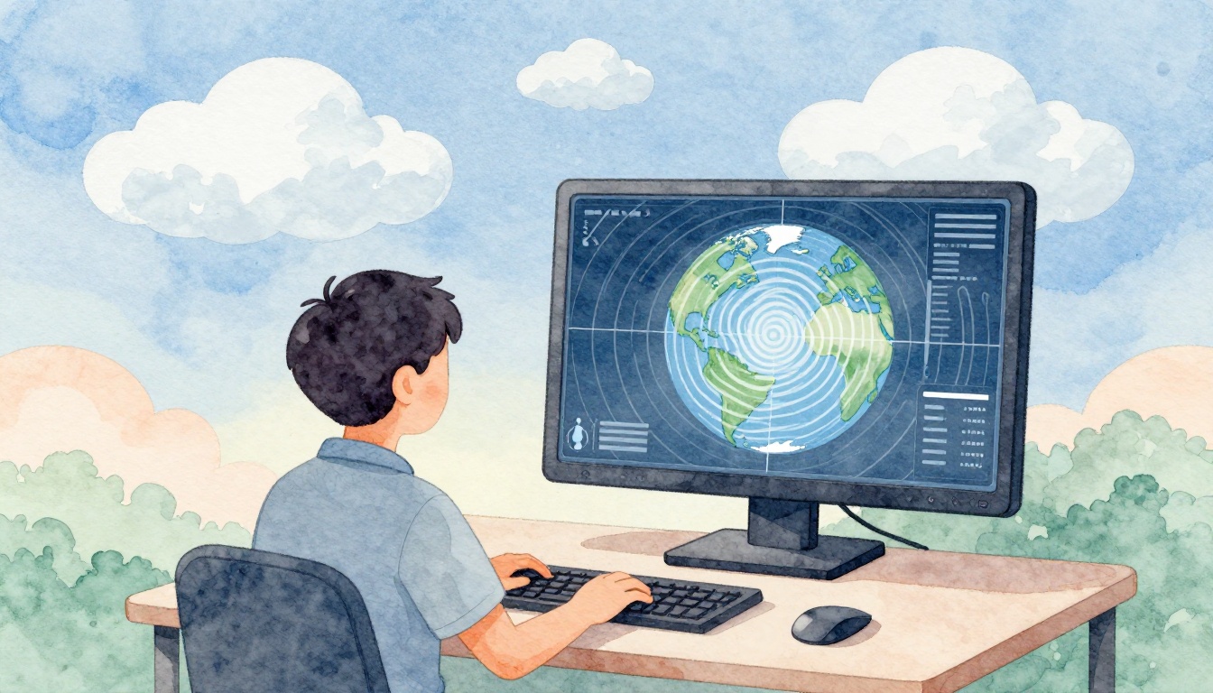
The reason weather forecasts matter is simple: they help you plan. You check when you’ll leave, decide whether to pack an umbrella, and decide if you need to take warnings seriously. Behind the scenes, meteorologists follow a clear chain: they observe real-time conditions, run computers that simulate the atmosphere, adjust with human judgment, and issue forecasts people can act on. By March 2026, AI tools are also helping with faster guidance, especially for storms.
So how does the process work from data to your forecast screen? Let’s start with where the information comes from.
Where Meteorologists Collect Real-Time Weather Data
Meteorologists do not guess from thin air. They start by measuring the atmosphere right now, then they keep measuring because weather shifts by the minute. That means combining data from land, oceans, and the air above you.
A classic example is Doppler radar. When storms form, radar can show where rain is moving and how fast. If rotation appears in the right place, forecasters can warn people earlier than they would with just surface reports. In other words, radar helps turn “something might happen” into “this is happening now.”
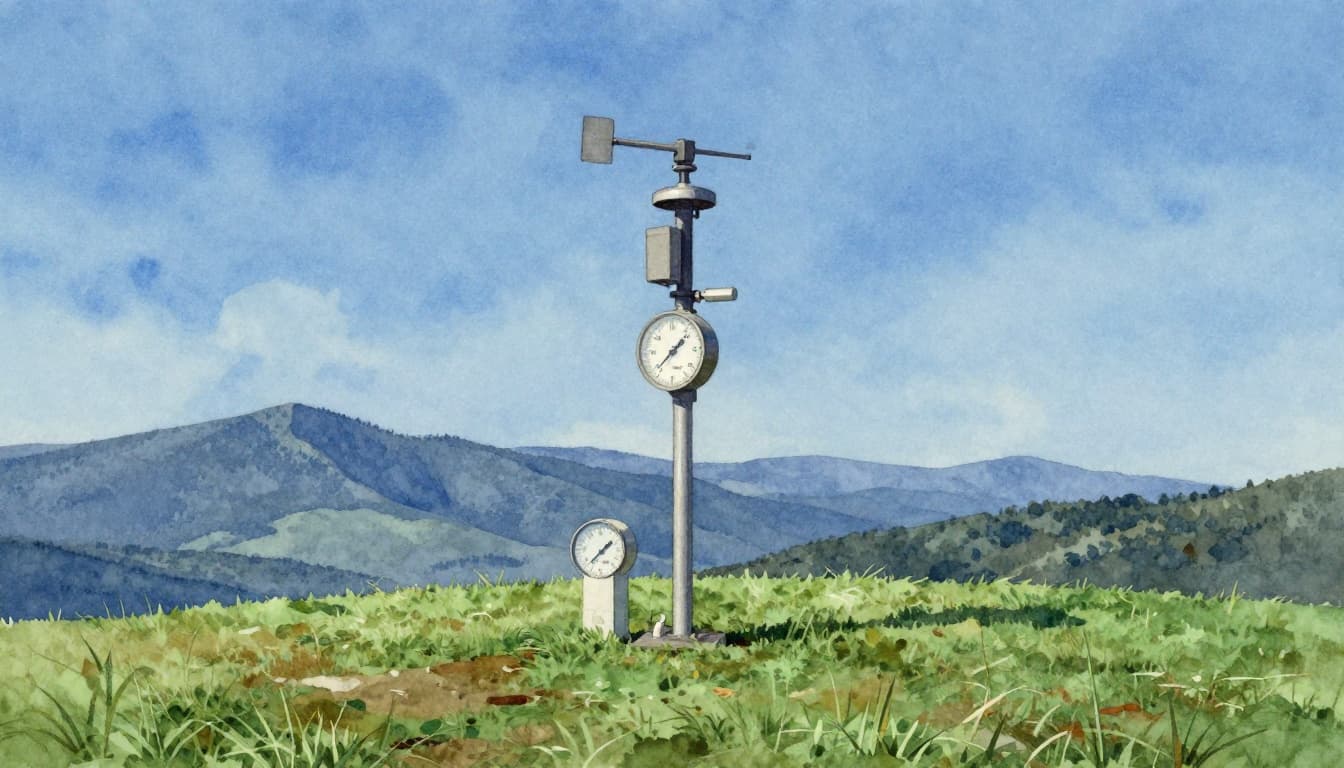
Meanwhile, weather stations feed in local details like temperature, pressure, wind speed, and humidity. NOAA explains how these observation systems work, including the equipment used to measure conditions and why coverage matters across the country. For a closer look, see NOAA observation equipment.
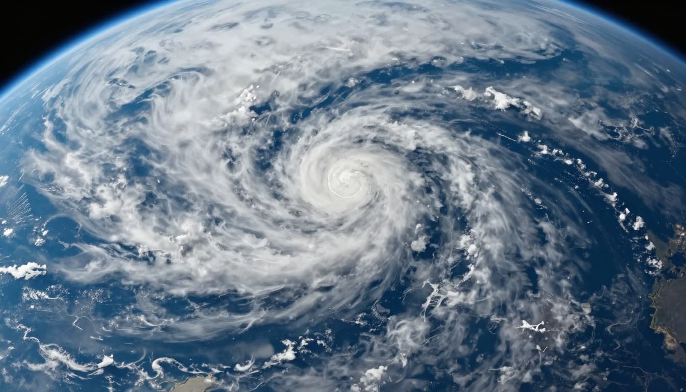
On the bigger scale, satellites show cloud types, storm structure, and changes over huge areas. They help meteorologists monitor remote regions, like oceans and forests, where land stations cannot cover everything.
Land Stations, Balloons, and Ocean Sensors
Local measurements fill in the ground truth for computers. Land stations (from automated sites to airport weather reports) track surface winds, rain or snow amounts, and barometric pressure. These values help forecasters understand what’s happening near you, not just in the sky.
Then come weather balloons, also called radiosondes. They rise through the atmosphere and report upper-air conditions, such as wind direction and temperature at different heights. Because storms grow in layers, that vertical view helps explain why a simple “clouds moved in” forecast can turn into severe weather.
Ocean data adds another piece: buoy readings and other marine sensors track sea surface temperature, wind, and sometimes waves. Since the ocean feeds storms with heat and moisture, these measurements influence forecasts over coastal areas and across seasons.
Satellites and Radar for the Big Picture
Satellites act like an overhead camera for Earth’s weather. They reveal cloud cover, storm tops, and storm organization. When forecasters can see the “shape” and “growth” of a storm system, they can estimate how it might strengthen or drift.
Doppler radar fills in the near-real-time action. It can detect precipitation speed and direction. For tornado warnings, radar patterns can show whether winds inside a storm are turning in a way that matters for safety.
Together, satellites and radar cover both big patterns and fast changes. That’s important because a forecast can be accurate for the wrong reason. Meteorologists want the right signal for the right part of the storm.
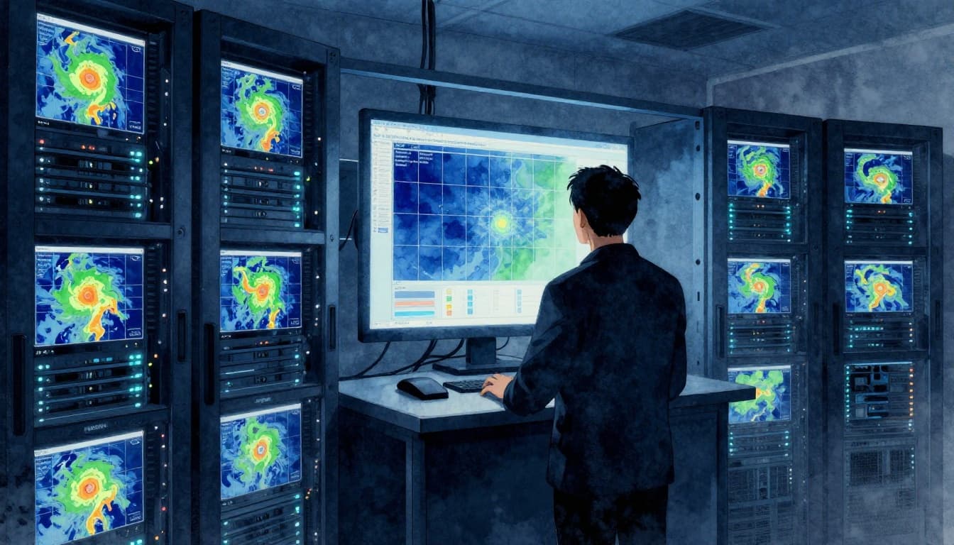
How Supercomputers Turn Data into Predictions
Once the observations roll in, meteorologists feed them into numerical weather prediction (NWP). Think of it like setting the rules for a giant physics movie. The atmosphere is split into a grid. Then the model calculates how temperature, pressure, moisture, and wind change over time.
Of course, real-world data is never perfect. Stations go offline, radar ranges end, and satellites have limits. So meteorologists use data assimilation, a process that blends observations into the computer’s starting state. The goal is to correct gaps, smooth noise, and produce a realistic “initial snapshot” of the atmosphere.
Then the model runs. It steps forward in time, updating the grid again and again. That’s how you get forecasts like “chance of rain” or “storm track.” But weather is chaotic, so meteorologists also rely on ensembles.
Ensembles mean running the model many times with slightly different starting conditions. Instead of one answer, you get a probability spread. That helps forecasters say things like, “Most members show heavy rain,” or “Storm formation looks less likely today than yesterday.”
Top Models Meteorologists Rely On
Several well-known models drive day-to-day forecasting. GFS is widely used in the United States and provides global guidance out to about two weeks. ECMWF (often associated with strong performance in many regions) is also a go-to for medium-range forecasts. In addition, newer higher-resolution systems can better resolve local effects, like strong gradients near coasts or terrain-driven storms.
However, “top model” does not mean “always right.” Meteorologists compare runs, track consistency, and watch for signals that stand out. Some storms are more sensitive to small changes early on. In those cases, ensemble spread can be the difference between confidence and uncertainty.
For a plain-language look at how forecasting tools connect to real outcomes, NOAA also shares how its meteorologists use multiple systems together, including observational and model data. See 6 tools our meteorologists use.
The Human Meteorologists Behind the Forecasts
Computers help a lot, but meteorologists still matter. Weather prediction is not just math, it’s interpretation.
First, humans check for biases. A model can systematically overdo rain in one area, or underplay wind shifts near a front. Second, forecasters watch patterns that models may represent imperfectly. They can spot when a storm is behaving like past events, even if the numbers look mixed.
Also, meteorologists specialize in nowcasting, the short-term period when radar trends often beat model output. If radar shows a sudden band of heavy rain forming, an expert may adjust timing immediately instead of waiting for a next model cycle.
Here’s the key idea:
Forecasts get better when computers and humans disagree, then align.
Meanwhile, warning decisions add human judgment. Forecasters weigh risk, timing, and what people actually need to know. After all, “a trace of rain” is not the same as “dangerous flash flooding.”
Types of Weather Forecasts and Their Accuracy
Weather forecasts have different time horizons, and accuracy changes with time. The closer the forecast is to right now, the more observations can lock in the atmosphere’s current behavior.
A useful way to think about it: shorter forecasts are like taking a photo from your front window. Longer forecasts are like guessing what that scene looks like after the sun moves, clouds drift, and wind changes.
| Forecast type | Typical timing | What it’s best for |
|---|---|---|
| Nowcasting | 0-6 hours | Fast changes, storm timing |
| Short-range | 1-3 days | Day planning, risk trends |
| Medium-range | 3-10 days | Patterns, travel planning |
| Seasonal outlooks | Weeks to months | Broad trends, preparedness |
Nowcasting: Predicting Storms in the Next Few Hours
Nowcasting leans heavily on radar, satellite loops, and high-frequency updates. Meteorologists track storm motion and intensity like drivers watching traffic in real time. They also monitor where storms might “jump” due to boundaries in the air, like sea breezes or leftover storm outflow.
Some services and apps use minute-by-minute precipitation estimates, such as tools often labeled as “minute” rain forecasts. These can be helpful for short trips, especially if radar updates frequently.
Still, confidence can dip if storms keep feeding on new energy nearby. Even small shifts can change where the heaviest rain lands.
From Short-Term to Seasonal Outlooks
As forecasts stretch out, uncertainty grows. That’s why forecasters shift from exact timing to broader ranges and probabilities. Medium-range forecasts often focus on whether conditions will be warmer, cooler, wetter, or drier than normal.
Seasonal outlooks go a step further. Instead of trying to predict each rainstorm, they use large-scale signals, like ocean temperature patterns and how the jet stream tends to behave. So, you might not get a “rain on Tuesday” answer, but you can get a better sense of overall risk.
Exciting Advances Revolutionizing Weather Prediction in 2026
By 2026, AI is changing how fast forecasts can run and how quickly model guidance can reach forecasters. Some AI systems produce useful predictions in minutes rather than hours. In many tests, they perform strongly for medium-range windows and for storm-related features.
AI does not replace traditional physics models. Instead, it can add speed, improve ensemble generation, or help refine patterns that humans track during nowcasting. It can also support better hyperlocal guidance, where geography and local effects matter.
At the same time, weather agencies still blend sources. You will often see a forecast that reflects both model output and forecaster adjustments. That blended approach is why forecasts can improve even when the atmosphere gets messy.
The best part is what this means for you. Faster updates can lead to earlier alerts, better timing, and clearer choices.
Conclusion
So how do meteorologists predict the weather? They start with real-time observations, then run supercomputers to simulate how the atmosphere evolves. After that, humans add judgment, especially when radar shows fast changes that models may not capture quickly.
By early 2026, AI adds speed and new ways to estimate probabilities. Even so, the most accurate forecasts still come from blending data, models, and expert interpretation. If you want to stay prepared, check your local forecast often, especially before storms. For more official guidance, use NOAA weather updates and regional advisories.
What’s the most surprising weather moment you’ve seen in your area, the one that made you rethink a forecast? Share it in the comments.