Before you head out, you probably check a weather app. It gives you numbers like temperature and “humidity,” and suddenly your plans feel clearer. Weather just describes the state of the atmosphere at a specific time and place, and forecasts estimate what you’ll likely experience next (see what NOAA says about weather and forecasts).
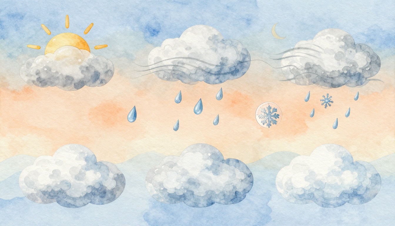
The basic elements of weather are the key building blocks behind those numbers and warnings. They are temperature, humidity, wind, air pressure, precipitation, cloud cover, and visibility. Once you know what each one means, you stop guessing about comfort, rain, and even travel delays.
Let’s break them down in plain, everyday language, starting with the comfort factors you feel most.
Temperature and Humidity: The Comfort Factors You Feel Most
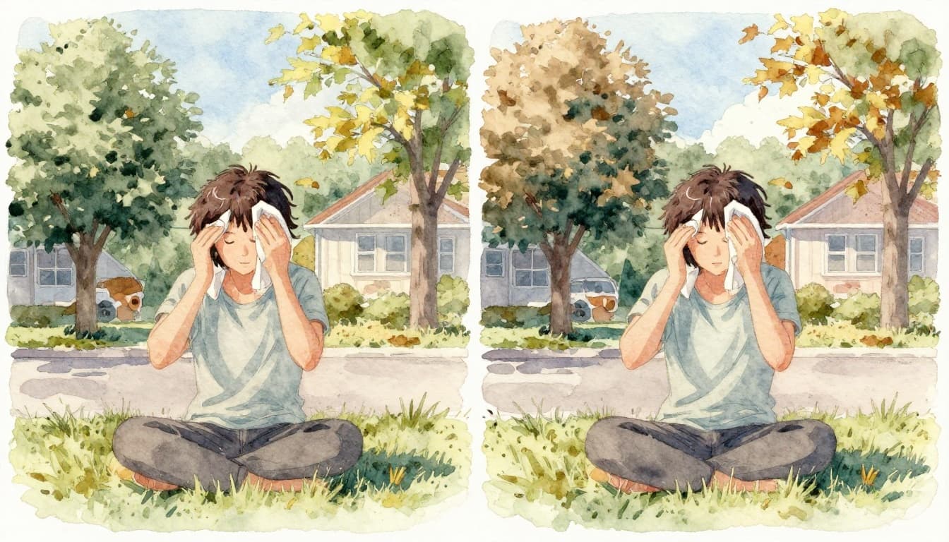
Temperature and humidity team up to shape how your skin feels. Temperature tells you if the air is hot or cold. Humidity tells you how much moisture sits in that air. Together, they explain why one day feels “muggy” and another feels crisp, even if the thermometer looks similar.
Here’s a quick way to think about it: temperature is the thermostat, and humidity is the “sticky layer” (or the dry air) sitting on top.
How Temperature Measures the Air’s Warmth or Chill
Temperature is simply how hot or cold the air is. It comes from how energy moves around in the atmosphere. When the sun heats the ground, the air above it warms too.
You’ll often see temperature as a high and a low. Highs show the warmest part of the day, and lows show the coolest part. That’s why a sunny morning can still turn into a chilly evening.
Temperature also swings because the ground and air don’t warm evenly. Clouds, wind, and the time of day all change how quickly the air gains or loses heat. In other words, temperature doesn’t sit still.
The measurement can feel like a mystery until you picture a simple example. Think of soup that’s too hot to eat. If it cools down, it becomes comfortable. Weather is similar. Your body reacts to how quickly heat leaves your skin, or stays there.
So if you’re dressing for weather, temperature guides the big choices. Wear shorts for warm air. Add a jacket for cold air. And when you see a big drop after sunset, that usually means you should plan for a colder night.
Humidity’s Role in Making Air Feel Sticky or Dry
Humidity is the amount of water vapor in the air. You can’t see it, but you feel it. High humidity means the air already holds lots of moisture. Low humidity means the air holds much less.
When humidity is high, sweat has a harder time cooling you. That’s why you feel sticky on hot summer days. When humidity is low, sweat evaporates faster. The air feels dry, and your skin can feel tighter.
You’ll also see humidity described as relative humidity. In simple terms, it compares how much moisture is in the air to how much it could hold at that same temperature. Because warm air can hold more moisture, the “same humidity number” can feel different on different days.
One more idea helps a lot: sometimes people talk about humidity, but what matters for comfort can also connect to dew point. For a clear breakdown of the difference, see dew point vs. humidity from The Weather Channel.
As a quick home example, notice bathroom steam after a hot shower. That foggy feel comes from moisture going into the air and then condensing. Weather humidity works the same way, just on a larger scale.
Wind and Atmospheric Pressure: The Forces Driving Weather Changes
If temperature and humidity describe the “feel,” wind and pressure explain the “motion.” Wind moves air around. Atmospheric pressure sets up the push that helps storms form or fade.
You can almost picture it like this: pressure differences create airflow, and that airflow carries the conditions. That’s why forecasts often change when wind patterns shift.
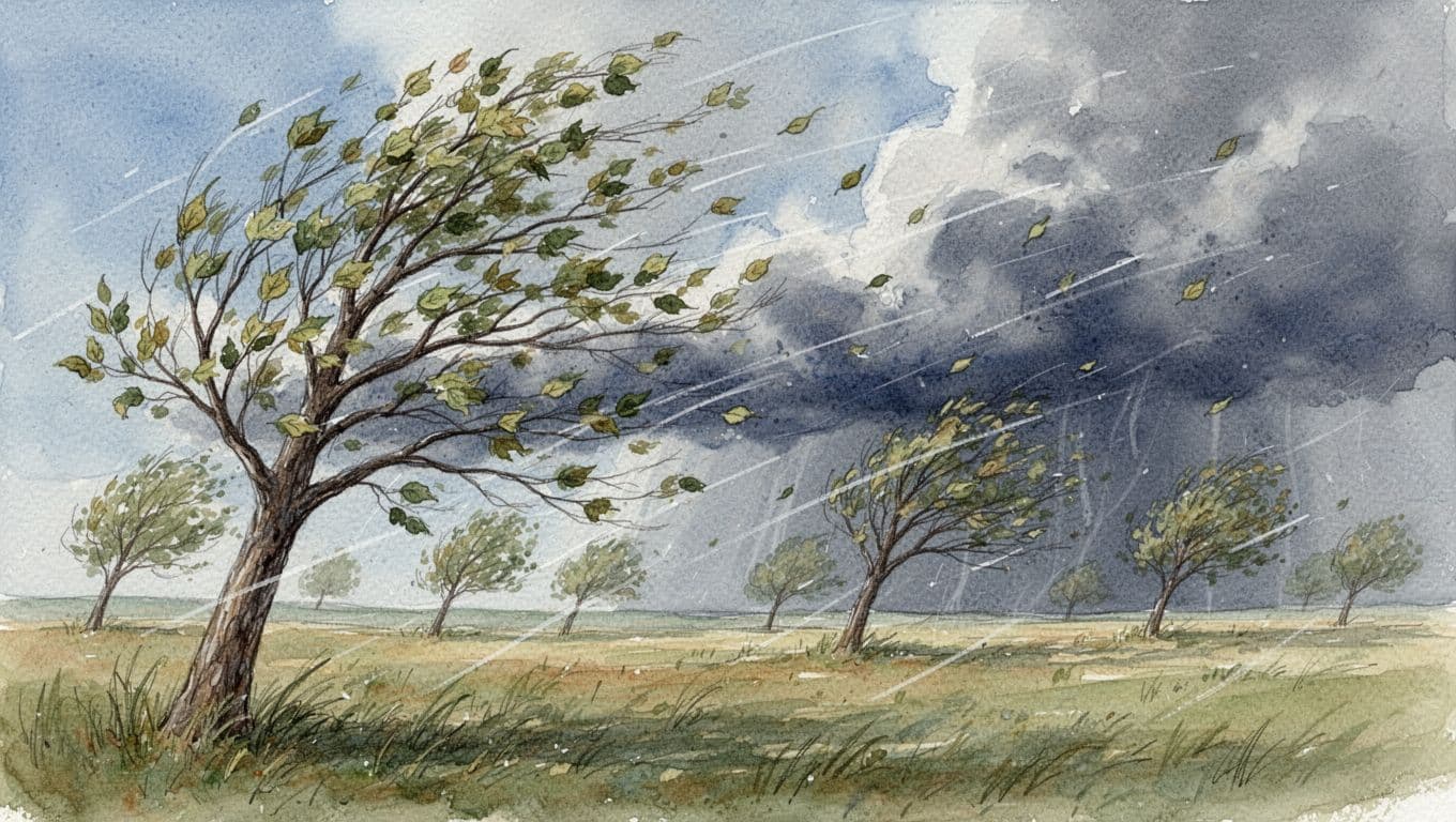
Why Wind Blows and How It Affects Your Day
Wind is air moving from one place to another. In most forecasts, wind matters because it affects both comfort and storm chances.
A common idea to remember is that wind blows from higher pressure toward lower pressure. So when low pressure sets up nearby, air tends to flow in that direction. On a breezy day, you might notice leaves rustling and branches moving. That’s wind doing its job.
Wind also has two key details: speed and direction. Speed tells you how strong it feels, from a gentle breeze to gusty, stormy air. Direction can matter because wind can bring different air masses. For example, a sea breeze can cool a hot coast, while inland wind can feel different.
On your body, wind acts like a “heat thief.” Even on a mild day, a steady breeze can make you feel cooler. If you’ve ever flown a kite, you already know the power of moving air.
When forecasts mention stronger wind, expect changes soon. Often, gusts come with approaching weather systems, so keep an eye on the rest of the forecast too.
Atmospheric Pressure: High for Clear Skies, Low for Storms
Atmospheric pressure is the weight of the air pressing down on Earth. It’s measured with a barometer. You’ll see it in forecasts as high or low pressure patterns, not just one random number.
High pressure usually means the air is sinking. When air sinks, it tends to warm slightly and dry out. That often leads to clearer skies and calmer weather.
Low pressure tends to mean air is rising. Rising air cools, and cooling helps clouds grow. That’s why low pressure often connects to clouds and precipitation.
A simple analogy helps. Picture a balloon: if you press down on one side, air shifts. If you “lift” air up, it can cool and form clouds. Weather systems work in a similar way at larger scales.
If you want a straightforward explanation of how pressure links to wind and weather, this guide on atmospheric pressure and wind is a helpful read.
Falling pressure often matches increasing cloud cover and a higher chance of rain.
So when you see pressure trends in forecasts, think: sinking for clearing, rising for stormy skies.
Precipitation, Clouds, and Visibility: What You See and Get Wet From
Once wind and pressure start the story, clouds and precipitation often write the next chapter. Visibility then tells you how easy it is to see through the air.
These three elements tend to show up together in forecasts. Clouds build, precipitation falls, and visibility changes as moisture, fog, or rain moves in.
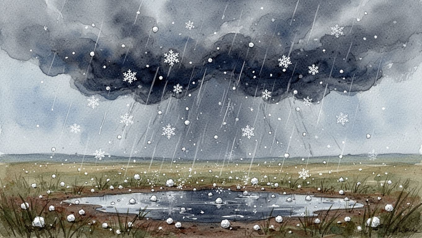
Precipitation: Rain, Snow, Hail, and Other Falls from the Sky
Precipitation is any water form that falls from clouds and reaches the ground. It’s the part that makes you grab an umbrella, plan a route, or change your clothing for the day.
Different temperatures and cloud conditions create different types:
- Rain forms when water stays liquid and falls as droplets.
- Snow forms when conditions are cold enough for ice crystals.
- Hail forms when strong storm updrafts carry water droplets upward, where they freeze and grow.
- Sleet is a mix of icy forms, usually connected to changing temperatures in the air.
Inside clouds, droplets can grow until they get heavy. Then gravity pulls them down. In cold setups, droplets can freeze and become part of snow or hail.
If you want a clear overview of how precipitation types fit together, check NOAA precipitation types.
So when the forecast says “rain” or “snow,” it’s not just a label. It’s a clue about the air temperatures and storm strength above you.
Cloud Cover: Your Sky’s Blanket Predicting the Weather
Cloud cover describes how much of the sky is covered by clouds. You can think of clouds as the atmosphere’s visible “signal flags.”
Clouds form when water vapor condenses into tiny droplets or ice crystals. That can happen when air cools, such as when it rises in low pressure systems. As air keeps cooling, clouds can thicken and cover more of the sky.
If you see mostly clear skies with a few clouds, it often means the air is stable. If the sky looks overcast, a storm might be near, or rain may already be on the way.
Different cloud shapes also hint at what’s coming. Fluffy clouds can mean fair weather. Dark, thick clouds often mean heavier rain or even thunderstorms.
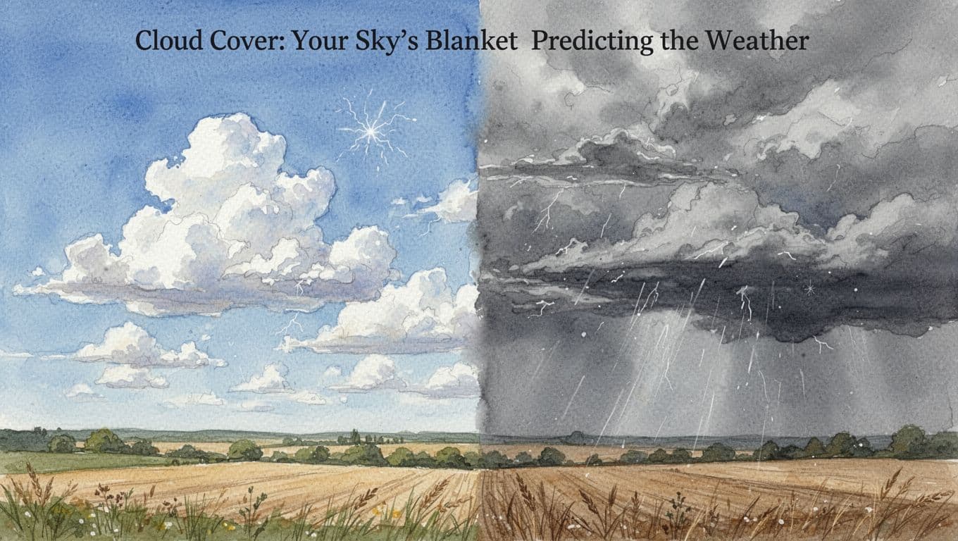
Cloud cover also affects temperature. More cloud cover can hold in some warmth during the day, and it can change nighttime cooling too. That’s why cloudy days sometimes feel milder than expected.
Visibility: Seeing Far on Clear Days or Not in Fog
Visibility tells you how far you can see through the air. On a clear day, you can spot far-off hills and buildings. When visibility drops, roads can feel more stressful, and driving takes more focus.
Fog is a big visibility culprit. Fog forms when air near the ground has lots of moisture and cools. Tiny droplets float in the air, scattering light and blocking your view.
Visibility can also drop with haze, smoke, dust, or heavy rain. In those cases, particles in the air act like a veil. Even if it’s not raining hard, a damp, hazy air mass can still reduce how far you can see.
Humidity connects here too. Moist air often supports fog or mist, and those conditions blur what’s ahead. That’s why mornings can look clear, then suddenly get cloudy and ghostlike near sunrise.
Think about the last time you drove through thick fog. You probably slowed down and used safer following distances. That’s visibility doing its job, right there in your windshield.
Conclusion
The weather app makes it easy to feel overwhelmed. Still, the basic elements of weather are pretty simple once you see the connections. Temperature and humidity explain comfort. Wind and air pressure drive change. Precipitation, cloud cover, and visibility show what’s happening in the sky right now.
In real life, those elements combine like ingredients. Hot, humid air plus rising clouds and strong wind can set up thunderstorms. Clear air and high pressure often lead to calmer, drier days.
Next time you check the forecast, look at those seven clues as a group, not separate facts. What changes first for you, the temperature, the wind, or the cloud cover?