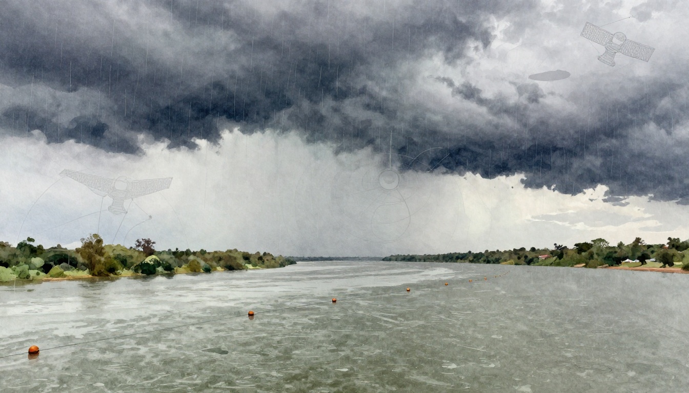
Heavy rains in Mozambique in early 2026 turned rivers into fast-moving dangers. Reports say the rain was about 40% heavier than usual, and many people still got hurt. Yet early warnings helped people act sooner, especially in places where evacuations and rescue teams could move quickly.
So how do weather systems actually prevent disasters? Weather systems are the tools and models that watch the atmosphere and water, then forecast what may happen next. They pull in data from satellites, radars, buoys, gauges, and computers. Then they translate that data into warnings that give you hours or days to prepare.
Ever wonder how we dodge disaster when the sky looks calm? Keep reading, because the answer is mostly about timing, data, and clear action plans.
The Essential Tools That Power Weather Forecasting
Weather forecasting technologies work like a layered safety net. No single tool “sees everything.” Instead, teams combine observations with models, then update forecasts as new data arrives.
Think of it like building a detailed map while you’re driving. You start with the big picture. Then you adjust based on road signs you notice along the way. That’s how modern forecasts get better over time.
The core tools usually include:
- Satellites: They show cloud cover, storm structure, and ocean and air patterns over huge areas.
- Radar: They track storms close to the ground, including rotation and heavy rainfall bands.
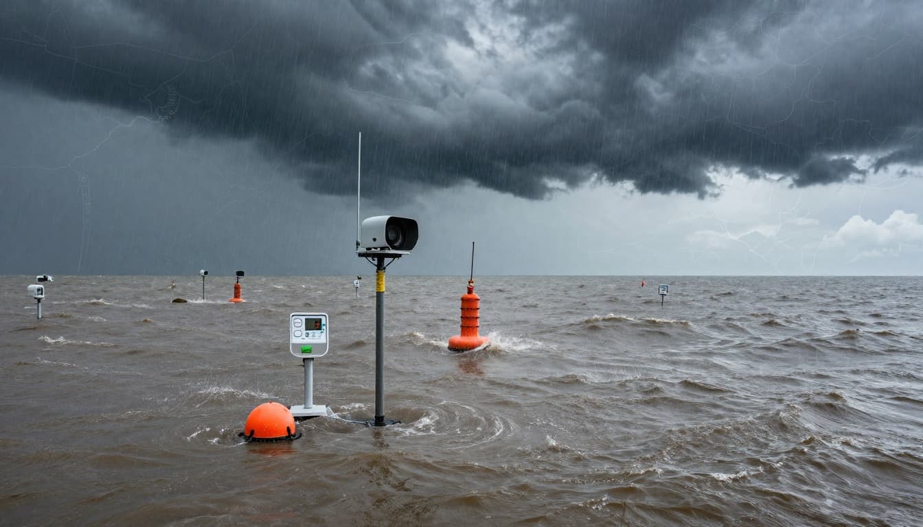
- Buoys and weather stations: They measure ocean and near-surface conditions in real time.
- River gauges and rain sensors: They monitor water risk, especially for flash floods.
- Models and ensembles: They run “what-if” simulations to estimate storm paths and impacts.
- AI pattern spotting: It can speed up certain predictions and help identify likely outcomes.
When these systems work together, they improve lead time. More lead time means more options. You can evacuate, close roads, stage supplies, or move people out of harm’s way before damage starts.
For longer-range outlooks, NOAA’s SHiELD family is designed to support weather-to-seasonal prediction workflows. You can see an overview of the SHiELD approach here: GFDL SHiELD unified system.
How forecasting turns data into warnings
A forecast doesn’t become a warning automatically. Forecasters and warning systems decide what’s risky, where it’s risky, and when it might arrive. Then they send alerts to emergency managers, schools, media partners, and the public.
That step matters because the whole point is action. A forecast that arrives too late is just information. A forecast that arrives early enough helps prevent disasters.
Satellites and Radar: Eyes in the Sky
Satellites act like high-altitude observers. They track storms over oceans and land, so forecasters can estimate where a system might move. They also help monitor ocean temperatures and large-scale air patterns that influence storms.
Meanwhile, radar focuses on what’s happening near you. Meteorologists use radar to see storm structure, rain intensity, and wind changes. When radar shows clear signals, warnings can be more specific, such as “rotation in this storm” rather than “bad weather somewhere.”
Here’s the big benefit: satellites can spot threats days ahead, but radar can refine them in the final hours.
Why this matters for prevention
Early visibility helps emergency leaders plan actions that take time. For hurricanes, that can mean setting evacuation zones, opening shelters, and moving supplies before roads fill up.
Radar also helps when conditions change fast. Tornadoes, severe thunderstorms, and intense rain can intensify quickly. In those situations, the closer and faster the observation, the better the warning.
In 2026, more AI models are also improving how forecasts handle storm behavior. Systems built by research teams and weather agencies now test rapid updates using machine learning approaches for track and intensity. For more background on how early warning systems turn observations into warnings, see Early Warning Systems | UN-SPIDER Knowledge Portal.
Even when technology improves, prevention still depends on one thing: people must respond to alerts. Better eyes in the sky can only do so much.
Sensors and Gauges on the Ground
Storms don’t always cause damage directly. Often, they trigger problems through water and heat.
River gauges, rain sensors, and other field measurements help forecast floods and debris flows. Ocean buoys help track storm surge and hurricane development. Heat-related sensors and fire weather tools support wildfire risk forecasts.
In other words, the ground tells its own story. Satellites and radar can’t feel the rain hitting a street, or measure how fast a river rises. Sensors can.
Real-time data feed into prediction models
Once sensors collect data, the next step is fast sharing. Networks push measurements into forecasting systems. Then models translate those inputs into risk, such as:
- Whether rainfall rates may exceed local drainage capacity
- Whether river levels may reach flood stage
- How long heavy rain might last in a given area
- Whether heat conditions may favor wildfire growth
When forecasts include water timing, prevention gets practical. A flood warning isn’t just “flooding may happen.” It’s “water could rise this fast, here, at this time.” That lets communities move vehicles, close bridges, and move people before water reaches homes.
This is one reason weather systems prevent disasters. They do more than predict weather. They predict consequences.
Shielding Communities from Hurricanes, Floods, Tornadoes, and Wildfires
Weather systems prevent disasters by shrinking the uncertainty window. When warnings are clearer and faster, communities can take the right steps sooner. The goal is not to stop the storm. The goal is to cut harm.
Let’s look at how warnings help for major hazards.
Hurricanes: Days of Warning to Evacuate Safely
Hurricanes move across warm ocean water. That gives them a pattern, so forecasters can track them and estimate likely paths.
Satellites, radar, and ocean observations help estimate storm strength and movement. Then warnings guide decisions like:
- Who must evacuate (and when)
- Which roads will likely become unsafe
- Where shelters will be set up
- How to stage food, water, and medical supplies
Evacuation is hard work. It takes buses, trained staff, and transport routes that don’t fail. That’s why lead time matters so much.
Floods: Spotting Rising Waters Before They Hit
Floods often follow a simple rhythm, water rises, then it spreads. The danger is how quickly that rise can happen after rain.
Rain sensors and river gauges provide direct signals of what’s already happening. Hydrological models then estimate what may happen next, including likely flood stages and overflow risks.
With that information, prevention looks like:
- Moving people away from flood plains
- Pre-positioning sandbags and pumps
- Closing roads and warning drivers
- Keeping emergency teams in safe staging areas
In many places, flash floods can overwhelm drainage systems fast. A warning that arrives while residents still have time to leave is the difference between “safe relocation” and “trapped by water.”
Tornadoes: Extra Minutes to Take Cover
Tornadoes are small compared with hurricanes, but their impacts can be huge. They also form and shift quickly.
Warning systems use high-resolution radar data and model guidance to identify where storms may become tornadic. Some decision-support tools use storm-scale ensembles to support short-fuse guidance for forecasters, helping them issue warnings faster.
Those minutes matter. A warning can prompt people to reach shelter, shut down elevators, secure mobile items, and stop outdoor work. For schools and businesses, it can also guide where to send people and what doors to keep clear.
One reason weather systems help prevent disasters is simple: people can’t protect themselves if they don’t get time.
Wildfires: Preempting Fire Spread
Wildfires don’t wait for perfect conditions. Fire weather can change with wind, humidity, and temperature. That’s why risk forecasts help long before flames reach a neighborhood.
Sensors and environmental observations feed into forecasts that estimate fire danger and potential spread conditions. Then agencies can make choices such as:
- Closing roads before traffic becomes trapped
- Pre-positioning crews and equipment
- Issuing alerts for specific evacuation triggers
- Improving timing for controlled burns or defensive actions
When wildfire risks are communicated early, response teams can focus on high-risk zones. Residents have time to prepare homes and plan routes.
2026 Breakthroughs Making Warnings Smarter and Faster
Warnings improve when forecasts improve, but they also improve when alerts reach people better.
In 2026, the biggest changes come from AI models and faster prediction workflows. Research and operational groups are testing new approaches that forecast longer windows and refine track and intensity estimates.
Recent work highlighted several AI advances, including GraphCast and other graph-based weather models designed for longer-range forecasting. Teams are also testing methods that can run many scenarios quickly, helping forecasters see likely paths and uncertainties.
At the same time, NOAA and partners continue pushing upgrades for model workflows and forecast systems. For example, SHiELD research underpins a unified approach for weather-to-seasonal prediction.
For multi-hazard early warning efforts, AI is also showing up in broader planning and alert strategies. A good snapshot of the global push is here: Early Warnings for All (EW4All) updates.
None of this matters unless it supports action. The best warnings do two things: they reduce uncertainty and they help the right people respond at the right moment.
Real-World Wins: Disasters Averted in Action
Weather systems don’t stop nature from causing hazards. Still, they can stop disasters from becoming death events.
A clear case comes from Mozambique’s heavy rains in the 2025 to 2026 season. The crisis affected over 700,000 people. Many communities faced weeks of nonstop rain. Rivers overflowed, and damage hit homes, roads, schools, and water systems.
Reports also note that the rain was about 40% heavier than normal, on top of natural drivers like La Niña. That means the hazard was already worse than typical seasonal expectations.
And yet, early warnings made a difference. Authorities issued red alerts and supported evacuations in high-risk areas. During October 2025 through March 2026, reports cite 289 deaths, plus large-scale rescue efforts. Teams rescued more than 7,000 people, including using air bridges and boats for isolated areas.
Early warning systems worked not only through alerts, but through what those alerts enabled. When people move earlier, rescue teams can search more safely and supply routes stay open longer. Aid coordination also improves when timelines are shared early.
Mozambique also used satellite monitoring to support response planning. UN-SPIDER used special radar-capable satellites to track flood conditions through cloud cover. That type of information helped response teams get a first look at safe routes and other key planning details.
There’s another lesson here. Even when warnings help, they don’t fully cancel the risk. Flooding still destroyed thousands of homes. In other words, better warnings reduce harm, but preparedness also depends on drainage, infrastructure, and local response capacity.
That’s why prevention is a system, not a single alert.
Conclusion
Weather systems prevent disasters by turning observations into timely warnings. Satellites, radar, sensors, and models work together so people get real lead time.
Mozambique’s 2026 floods show the pattern clearly. When warnings and response planning move early, evacuations and rescues start sooner. That reduces loss of life, even when hazards are extreme.
Ready to be safer where you live? Check your local forecast and emergency alerts today, and encourage others to do the same.