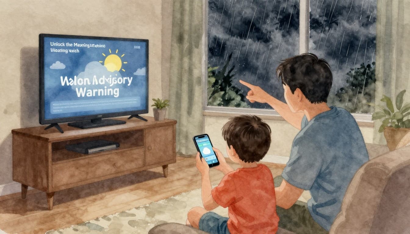
A tornado warning woke up a neighbor of mine one spring night. She grabbed her phone, checked the weather app, and froze. By the time she found a safe place, the storm had already pushed into her street.
That kind of delay is common. Weather alerts are meant to give you early heads-up, not extra stress. When you understand watch vs advisory vs warning, you know what to do next and when to do it.
Most alerts come from the National Weather Service (NWS). They use consistent labels, so you can act across most of the country. Still, the exact risk can vary by location, and timing can shift fast.
In this guide, you’ll learn how to interpret the three core alert levels. You’ll also see real examples for storms, floods, tornadoes, hurricanes, and winter threats. By the end, you’ll be able to spot the meaning quickly, then respond with a plan you can trust.
For local details and official updates, check NWS watch, warning, and advisory explanations. Now let’s break down the labels you’ll see on TV, phones, and weather radios.
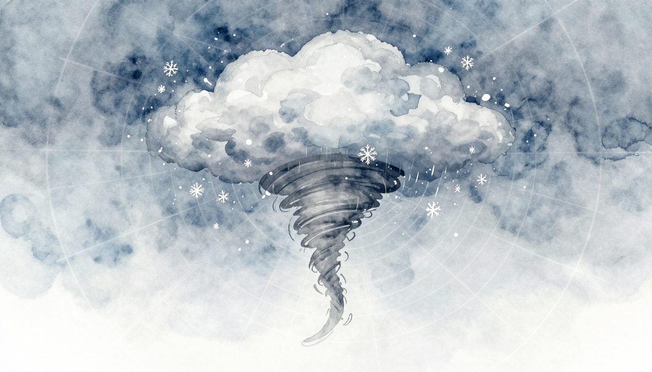
Unlock the Meaning Behind Watch, Advisory, and Warning
Think of NWS alerts like a simple traffic-light system. A watch means “be ready.” An advisory means “use extra care.” A warning means “act now.”
However, here’s a key point. In the US, NWS alerts don’t use color codes on their own. You might see colors in apps, but the label matters most.
Watches usually give you time. They mean conditions are possible, but not certain. They often cover a wider area because meteorologists aren’t sure where the worst impacts will land yet.
Advisories are next. They’re for hazards that can still cause trouble. Think of it as “expect inconvenience” or “plan around risky conditions.” In some cases, an advisory can still become dangerous if you ignore it.
Warnings are the top tier. They signal dangerous weather is happening or will happen very soon. You don’t wait for “confirmation” when a warning is issued. You protect people first, then move gear if you have time.
Because criteria and wording can vary by NWS office, it helps to understand the official definitions. Start with Watch/Warning/Advisory definitions.
When you see an alert pop up, don’t just read the headline. Scan for three things: the alert level, the hazard type, and the time window.
You’ll also notice that one area can get a warning while a nearby zone gets a watch. That happens because storms don’t respect county lines.
When a Watch Means Get Ready, Not Panic
A watch often means the weather threat is forming. Still, the exact location and timing might shift. For example, a tornado watch usually means tornadoes could develop within the watch area. Meanwhile, a winter storm watch means a mix of snow, ice, or sleet may reach warning levels soon.
The best way to treat a watch is like preheating an oven. The heat comes next, so you should already know what you’ll do when the timer starts.
Here’s a practical way to respond:
- Plan your shelter route (especially if storms could become tornado threats)
- Check supplies (blankets, meds, water, and a charged phone)
- Review triggers for action (like “If the warning drops, we move immediately”)
- Turn on updates (watch for updates that shorten or expand the impact window)
Also, don’t treat a watch as “set it and forget it.” Watches can change quickly. New radar, new wind reports, and new rainfall totals can push conditions into warning territory.
Advisories: Hazards You Can Handle with Care
Advisories are still worth attention. They usually mean the hazard is expected to cause real impacts, like unsafe travel or risky outdoor conditions.
Common advisory examples include dense fog, strong wind, and winter weather that creates slick roads. A Dense Fog Advisory can reduce visibility enough to slow commutes. A Wind Advisory often means secure loose items and avoid risky travel. A Winter Weather Advisory typically warns about light to moderate snow or ice that can still make roads dangerous.
Even when it sounds mild, an advisory can affect your day in a serious way. For instance, a cold advisory can mean dangerous wind chills. If your alert says to watch for frostbite or hypothermia, take it seriously, especially for kids and older adults.
Regional differences matter too. One office may issue an advisory sooner, while another waits for stronger conditions. That’s why you should always focus on what applies to your area.
Warnings Demand Action Without Delay
A warning means the hazard is now, or it’s coming very soon. You should treat it as “act within minutes,” not “in a few hours.”
Tornado warnings and flash flood warnings are especially urgent. For a tornado warning, your goal is shelter. For flash flooding, your goal is to avoid water and move away from danger fast.
For tornado warnings, prioritize people in a sturdy interior space. Keep away from windows. If you can, have a way to get to shelter immediately. If you’re driving, focus on safe actions, not shortcuts.
For flash floods, the key phrase is “don’t test it.” Never drive through flowing water. Even shallow-looking water can carry debris and sweep cars away.
Here’s a quick reminder:
A warning is your cue to protect life first, protect property next.
Some warnings also include additional wording that shows severity expectations. Always read the full message. The safest choice is the one that matches the action the warning requests.
Decode Alerts for Storms, Floods, Tornadoes, and Hurricanes
Different hazards use different alert labels, but the logic stays the same. As you move from watch to warning, timing tightens and impacts get more likely and more severe.
As of March 2026, there weren’t widely reported major nationwide changes to the alert system itself. Still, offices can update products and wording as forecasts improve. So check alerts for your exact zone, not just the headline.
For quick reference, here’s how common alerts usually translate into action.
| Alert type | What it signals | What you should do |
|---|---|---|
| Severe Thunderstorm Warning | Strong winds and/or large hail expected | Move to shelter, stay indoors, avoid windows |
| Tornado Warning | Tornado sighted or indicated by radar | Go to a safe room now |
| Flash Flood Warning | Rapid flooding is expected or occurring | Avoid low areas, leave danger zones fast |
| Flood Warning | River or stream flooding is expected | Use higher ground, monitor evacuation info |
| Hurricane Warning | Hurricane conditions expected | Follow evacuation orders, prepare for major wind impacts |
| Storm Surge Warning | Dangerous coastal surge possible | Leave coastal areas, move inland if ordered |
For official maps and local products, go back to NWS pages tied to your region. You’ll usually find them linked from local forecast and warning pages on NWS severe thunderstorm and flood criteria resources.
Now let’s zoom into the alerts people most often confuse.
Tornado and Severe Thunderstorm Alerts Explained
Tornado alerts come in two layers. A Tornado Watch means tornadoes are possible. A Tornado Warning means a tornado is happening or is likely very soon in that area.
Severe thunderstorms often come with their own warning system. A Severe Thunderstorm Watch means storms with damaging potential are possible. A Severe Thunderstorm Warning focuses on confirmed threats like damaging winds and hail.
When a warning drops, you should act right away. Get indoors. Go to an interior room. If you’re in a mobile home, take shelter in a sturdier building. If you’re outside, seek solid cover, not just a roof over your head.
For tornado basics and safety steps, use Understand tornado alerts. It’s one of the clearest NWS resources for what to do during the most dangerous moments.
Flood and Flash Flood Warnings You Can’t Ignore
Flooding alerts split into watch and warning, plus flash flooding for fast, dangerous rises.
A Flood Watch means flooding is possible. Use it to plan. Avoid parking in low spots. Keep an eye on road closures and drainage points.
A Flood Warning means flooding is expected and ongoing. It often ties to river levels or predictable rise rates. Still, the biggest danger can be local. A nearby creek can overflow faster than you expect.
A Flash Flood Warning is the fastest and most deadly category. Water can rise in minutes. If the warning says to evacuate, don’t debate it. Leave the area or move to higher ground immediately.
Also, drownings are the main reason people die in flash floods. Most victims try to cross water, even when it looks shallow. The safest approach is simple: don’t cross, don’t drive through, and don’t walk near fast-moving water.
If you see water moving faster than a slow trickle, treat it like a threat.
Hurricane and Tropical Storm Watches to Warnings
Hurricanes and tropical storms use watch and warning language based on how soon conditions can arrive. If you’re in the coast-and-near-coast region, these alerts can change your timeline for boarding up, packing, and evacuating.
In general terms, a Tropical Storm alert means winds are in the lower range. A Hurricane alert means stronger wind conditions. Many forecasts use 74 mph as the dividing line for hurricane strength. Storm surge warnings focus on coastal flooding risks, which can be worse than wind alone.
When a hurricane warning is issued, you should follow emergency guidance right away. If evacuation is ordered, plan to leave early. Traffic can overload when everyone leaves at once.
Also remember that hurricane impacts spread inland. Rainfall, tornadoes, and power outages can extend far beyond the coast. So even if you don’t live on the shoreline, warnings still demand action.
Master the New Winter and Cold Weather Alerts
Winter alerts can feel confusing because snow, ice, wind, and cold can combine. The labels aim to match risk levels like travel danger and frostbite risk.
In addition, NWS updated some cold-weather messaging in recent years. For example, many areas use Extreme Cold Warning for severe cold and wind chill risks, rather than the older “watch” approach in those same situations.
For winter details and official definitions, bookmark Winter Weather Warnings, Watches and Advisories. It helps you connect the alert label to the hazard type.
Here’s a quick comparison of terms you might notice in alerts:
| Alert wording | Typical meaning | Action |
|---|---|---|
| Extreme Cold Warning | Severe cold risk, including frostbite potential | Limit time outside, check on vulnerable people |
| Blizzard Warning | Strong winds, blowing snow, and poor visibility | Stay indoors, avoid travel |
| Snow Squall (alert) | Sudden snow and wind causing fast whiteout conditions | Slow down, pull over safely, avoid risky roads |
| Ice Storm | Freezing rain that builds hazardous ice | Stay off roads, expect power issues |
| Freeze / Frost advisories | Cold enough to harm plants | Cover plants, protect outdoor equipment |
As of March 2026, no major nationwide shift to the core alert system has been widely reported. Still, always rely on your local NWS office for the exact thresholds in your zone.
Extreme Cold and Blizzard Warnings
Extreme cold and blizzard warnings are about exposure and survival.
An Extreme Cold Warning usually signals very low temperatures and wind chill risk. The goal is to reduce time outdoors. If you have pets, bring them in too. Check older adults, and make sure families have a heating plan.
A Blizzard Warning means a serious mix of wind and visibility issues. Common criteria include wind gusts around 35 mph or higher, along with snow and visibility dropping below about a quarter mile for several hours.
In both cases, avoid travel if you can. When roads freeze, they can stay unsafe longer than you expect.
Snow Squalls and Ice Storm Alerts
Snow squalls can change driving conditions fast. They often bring sudden snow bands plus strong wind. Visibility can drop quickly. That means your normal “drive a little slower” plan might not be enough. If you’re already on the road, you may need to pull over safely and wait.
Ice storm alerts focus on freezing rain that creates ice buildup. That ice can make roads treacherous and can also bring down tree limbs and power lines. Expect outages and treat any downed line as dangerous.
If freeze or frost alerts show up near you, protect plants and exposed pipes. Those can be easy to miss, but the damage adds up fast when cold lingers.
Take Charge: Respond to Alerts and Stay Informed
The best weather plan is the one you prepare before the storm. When alerts start rolling in, your attention matters less than your routine.
Start by making sure you can actually receive alerts. Then build a response plan for each threat your area sees most.
This is where knowledge turns fear into action.

Build Your Alert Action Plan Today
You don’t need a bunker. You do need a short plan that your household can follow.
Consider this quick plan you can set today:
- Download the NWS app (or your local official alert source).
- Turn on zone alerts for home, school, and work locations.
- Make one shelter decision for tornado warnings.
- Decide your flood rule (no crossing moving water).
- Prepare a go-bag with essentials for at least 24 hours.
- Practice once so kids and adults know where to go.
Also, check your evacuation routes if you live where hurricanes or storm surge could reach you. Roads can change when closures start.
Best Apps and Tools for Real-Time Updates
Use official sources first. Then add a backup so you’re not stuck on one device or one connection.
Good options usually include:
- weather.gov for local warnings, maps, and official products
- FEMA’s app for emergency guidance during major events
- Wireless Emergency Alerts on your phone, if enabled
- Local TV or radio when cell service gets spotty
Finally, remember that criteria can vary by region. One area’s “advisory” might be another’s “watch.” That’s why local NWS pages matter more than national rules of thumb.
Conclusion
Weather alerts don’t exist to scare you. They exist to help you decide what to do next. Once you understand watch, advisory, and warning, you can react faster and more confidently.
You now have the key patterns for common threats like severe thunderstorms, tornadoes, floods, hurricanes, and winter hazards. Most importantly, you’ve got a simple mindset: watches give you time, advisories call for caution, and warnings demand action right away.
Take one step today. Bookmark weather.gov for your area and set your alerts so you’ll hear the warning when it matters most. What’s the first hazard you should plan for in your home, tornadoes, floods, or winter storms?