A hurricane can spin up faster than most people can react. Still, some coastal towns get hours of extra warning, because satellites keep watching the ocean 24/7. In 2025, fast-moving storms were spotted early from space, and forecasters used that data to update tracks sooner.
That’s the role of satellites in weather forecasting in plain terms. Satellites circle Earth, take measurements, and send them down quickly. They fill gaps where ground radars and weather stations cannot reach, especially over oceans and polar regions. As a result, models get better inputs, forecasts sharpen, and alerts can go out earlier.
Next, let’s break down the kinds of satellites that monitor weather, what they measure, and how that data turns into better predictions.
Key Types of Satellites That Monitor Our Weather
Think of weather satellites as a mix of different “eyes.” Some watch the same spot all the time. Others sweep over the planet like a flashlight beam. Together, they build a fuller picture of the atmosphere.
One helpful way to understand the satellite toolbox is through the Royal Meteorological Society’s guide to satellite roles. It explains how different orbits support different forecast tasks, which matters when you’re trying to see fast storm changes.
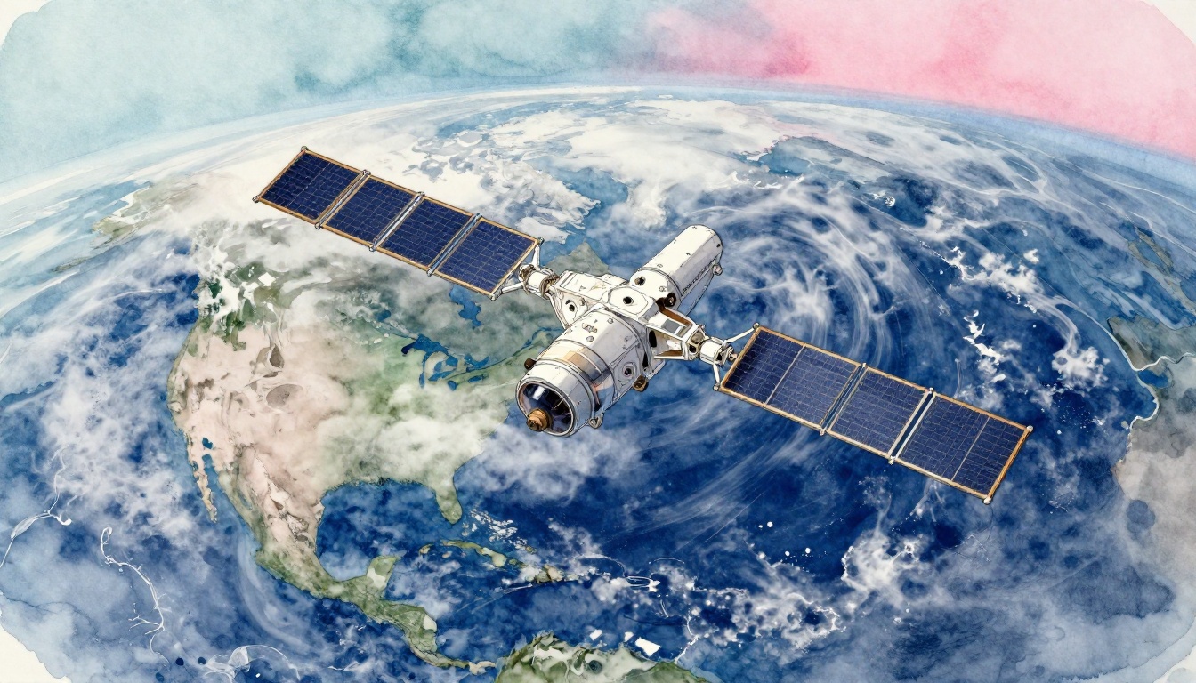
Geostationary Satellites: Non-Stop Views Over Fixed Areas
Geostationary satellites sit high above Earth and move at the same rate Earth rotates. So, they keep pointing at the same region. That means fewer gaps when storms pop up or intensify.
Europe’s Meteosat Third Generation Imager (MTG-I1) and Meteosat Third Generation Sounder (MTG-S1) are part of this “always watching” style. For example, MTG systems send frequent updates, often every 15 to 30 minutes, depending on the tool and schedule.
Because the view is steady, forecasters can track storm structure through time. They can watch cloud tops grow, see moisture shift, and spot lightning signals. That helps with short-term nowcasting, like “what’s likely in the next couple hours?”
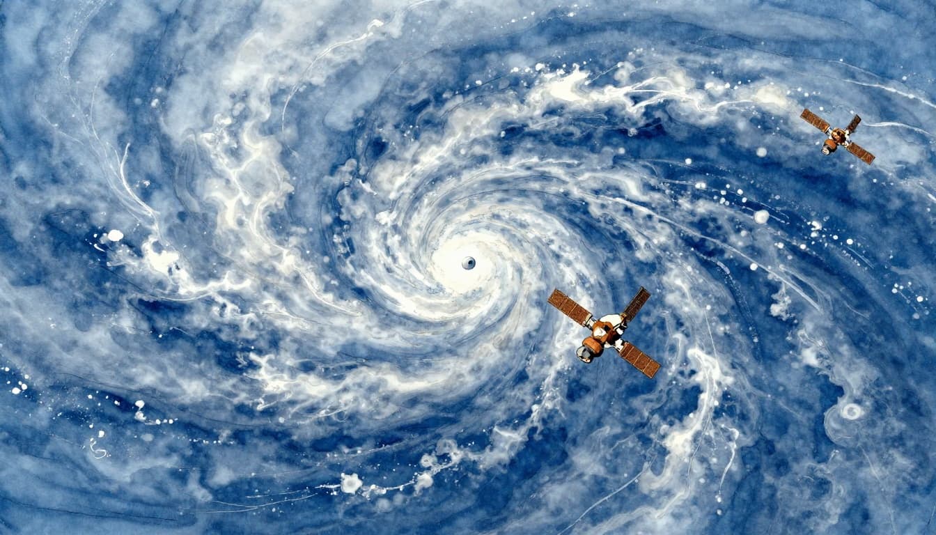
Polar-Orbiting Satellites: Full Global Coverage Scans
Polar-orbiting satellites pass over Earth near the poles. Then Earth rotates beneath them. Over time, they cover the whole planet.
Metop-SG A1 is a recent example moving this job forward. It circles Earth about 14 times per day, which gives high-detail snapshots of air, land, ice, and oceans.
These satellites are great for global coverage. They help models in two big ways. First, they observe regions geostationary satellites cannot see well. Second, they provide detailed fields that improve the starting point for forecasts.
CubeSats and Low Earth Orbit Innovators
Big satellites cost a lot, so small ones matter too. CubeSats are tiny, cheaper satellites. They often fly in groups, which means you can get more frequent measurements.
In the U.S. and beyond, CubeSat constellations support storm monitoring for tasks like cloud cover and rapid changes. Some projects focus on hurricanes, rain rates, and rainfall patterns. Others help with precipitation estimates or sea surface observations that influence storm behavior.
Low Earth orbit (LEO) also helps because the satellites move closer to Earth. That can improve detail, especially for short-term updates.
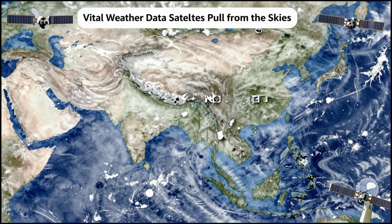
Vital Weather Data Satellites Pull from the Skies
Satellites do more than take pretty cloud images. They act like sensors that measure physical properties of the atmosphere and surface. Then forecasters feed that data into forecast systems.
While ground weather stations help, satellites add global, near-real-time coverage. They also observe key layers of the atmosphere that are hard to sample otherwise.
Temperature, Humidity, Winds, and Air Gases
Infrared sounders can “slice” the atmosphere vertically. With the right channels, they estimate temperature and humidity at different heights.
MTG-S1, for instance, uses hyperspectral infrared sounders. It scans 1,700 infrared channels every 30 minutes (for its planned observation pattern). That kind of measurement helps build 3D views of temperature and moisture. It also supports wind and trace gas estimates, including pollutants.
Those inputs help models estimate where storms can grow, how warm air moves, and how moisture feeds rainfall.
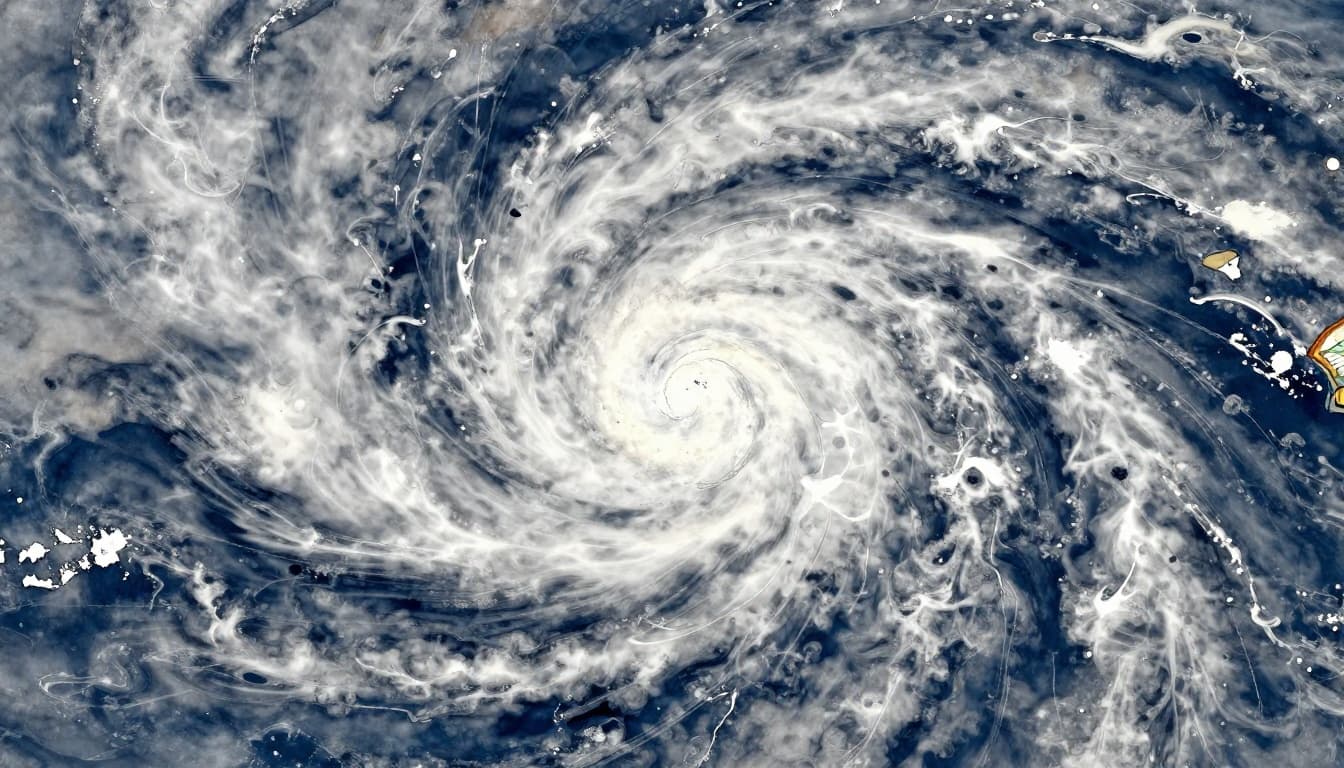
Clouds, Precipitation, Lightning, and Moisture
Imagers help with cloud and precipitation patterns. Microwave and other sensors can add more detail about rain type and intensity.
The Global Precipitation Measurement (GPM) mission is a key example. It uses multiple channels to estimate rain structure, not just whether rain exists. Meanwhile, water vapor and cloud cover observations improve the “fuel” picture for storms.
Lightning detection also plays a role. When lightning is active, it often signals storm strength and charging processes. That makes it useful for rapid updates when conditions change quickly.
Snow, Soil Moisture, and Extreme Winds
Weather isn’t only rain and thunderstorms. Satellites also track snow depth and surface moisture, which affects flooding risk, drought, and freeze-thaw cycles.
For example, dedicated hurricane and storm-focused missions like WSF-M help estimate precipitation and storm wind effects. CubeSats can add extra detail for short-term monitoring, especially where traditional coverage is thin.
So even when you aren’t looking at a radar screen, satellite data can still guide decisions for roads, farms, and disaster planning.
How Satellite Data Drives Smarter Forecasting Models
Satellite data becomes useful only after it enters forecasting systems. That process usually looks like this: satellites collect signals, ground stations receive them, and scientists convert them into data models.
Then supercomputers combine satellite data with information from other sources. Weather balloons, ground radars, ocean buoys, and surface stations all add context. The model updates its “starting conditions,” which can change the whole forecast path.
In short-term forecasting, timing matters. Frequent satellite passes can catch rapid change. For severe weather, that means better guidance on where storms will likely track and when rainfall will intensify.
In hurricane forecasting, satellites help in two key ways. First, they monitor cloud structure, moisture, and storm organization. Second, they refine ocean and atmospheric conditions that control intensification. NOAA hurricane guidance has also benefited from AI tools that learn storm behavior from past cases and live data.
As a result, forecasters can update watches and warnings faster, and pilots can plan routes with better turbulence and storm timing estimates.
Breakthrough Satellite Tech Powering 2026 Forecasts
2026 has been a strong year for “more detail, more often.” MTG-S1 continues to push faster atmospheric mapping for Europe, including frequent updates that support 3D storm analysis. MTG-I1 also keeps sending continual imagery for clouds and moisture patterns.
Metop-SG A1 adds fresh global coverage. Its sensors support both weather and climate-related tracking, including aerosols and pollution gases. That matters because air quality can change how people experience storms, and it affects longer-term trends.
Meanwhile, China’s FENGYUN satellites have supported AI experiments that forecast severe thunderstorms up to four hours ahead. That extra lead time can be the difference between safe preparation and rushed decisions.
Also, low Earth orbit has been booming. Some industry forecasts point to a market growth trajectory near $3B for LEO by 2030. More launches mean more viewing angles and more opportunities to refresh data in real time.

Big Wins from Using Satellites in Weather Prediction
The biggest win is coverage. Satellites watch oceans, remote regions, and polar areas that ground tools cannot fill. So, forecasts rely on more information, not less.
Another win is speed. When satellite updates come in every few minutes for some regions, forecasters can adjust warnings sooner. That helps emergency managers plan evacuations, and it helps families find safer shelter.
Satellites also support many daily needs:
- Flights and pilots use storm and turbulence indicators for route planning.
- Crops and water planning benefit from moisture, heat, and precipitation estimates.
- Public safety gains earlier alerts for storms and flooding risk.
On the bigger picture, satellites also support climate watch. Long-term monitoring of clouds, aerosols, and atmospheric gases helps scientists track change. For a lot of people, that means fewer surprises over time.
If you want an example of how U.S. forecasting teams explain the value, see how NOAA satellites help during severe weather season.
Real Hurdles Satellites Face in Weather Tracking
Satellites help a lot, but they do not remove every problem.
Clouds can block some views, especially for certain wavelengths. Also, polar-orbiting satellites do not provide the same instant “same spot” coverage as geostationary satellites. That means you might miss a fast change between passes.
CubeSats also rely on quantity. One small satellite can help, but a swarm or larger network often makes the data truly useful. Then there’s the computer side. Satellite data arrives in huge volumes, so systems need strong processing and clean calibration.
Costs can also be a hurdle. Even “mini” satellites still require launch, ground stations, and maintenance.
Better coverage comes with better hardware, but it also comes with more data to manage.
Ground and model teams keep working to fix these issues. More launches help, improved sensors help, and better data processing helps too.
Storms Where Satellites Proved Their Worth
Hurricanes are a great example. In 2025, satellites such as NOAA’s fleet helped track early tropical disturbances. They also provided ocean and atmospheric details that help forecast how storms strengthen.
Sentinel and microwave-capable systems also support hurricane analysis. For intense storms, even small updates to storm structure can change track and intensity forecasts.
Thunderstorms also show the value of faster sensing. FENGYUN data and AI forecasting experiments supported improved short-range storm prep, including lead times that help communities act before the worst weather hits.
In Europe, MTG instruments have supported rapid nowcasting through frequent imagery and moisture tracking. When lightning and cloud growth signals align, forecasters can issue targeted warnings sooner.
Conclusion
When you look at the sky, it’s easy to forget that satellites are part of your weather day. Yet that’s exactly what makes the role of satellites in weather forecasting so powerful. They provide global coverage, frequent updates, and measurements that fill in the gaps left by the ground.
In 2026, newer sensors like MTG-S1 and systems like Metop-SG A1 are helping models start from better conditions. That leads to sharper warnings and more time to prepare, especially for fast storms.
Next time you check the forecast, remember the quiet work happening above you. Want to see what’s new as satellites launch and update? Watch major space weather and satellite updates from NASA, ESA, and NOAA, and keep an eye on the next generation taking off.