March can feel like a dare. In March 2026, the Storm Prediction Center tracked intense severe weather, including dozens of hail and tornado reports across the Southern Plains and Midwest, such as 67 hail reports and 42 tornadoes. At the same time, other parts of the country faced big winter storm impacts, because strong weather systems often overlap across regions.
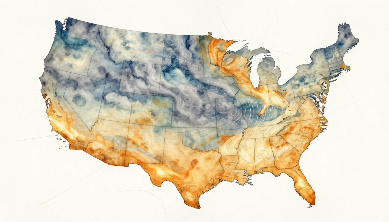
So how do forecasters figure out what’s coming, and where it might hit? They start by understanding weather patterns, which are the repeating setups in the atmosphere. Think of them as large-scale “tracks” that air and storms follow, shaped by features like heat domes, cold troughs, shifting storm paths, and sometimes changes tied to La Niña patterns in the Pacific.
The key is that patterns don’t stay still. They evolve, sometimes fast. That’s why today’s weather tracking uses a team approach: satellites, radar, surface stations, weather balloons, plus computer models and AI support. Together, these tools turn scattered clues into clear, time-sensitive forecasts.
Satellites Give Us a Bird’s-Eye View of Weather Patterns
Satellites are like watchful eyes in the sky. They can’t tell you whether your street gets hail. However, they do show the bigger setup that makes storms more likely.
Most weather pattern features are large. Heat domes can stretch across states. Cold troughs can reshape wind flow for days. Storm tracks can shift as the jet stream moves. Satellites help spot those changes early, so forecasters can adjust the forecast.
For the U.S. and nearby ocean regions, NOAA’s GOES satellites provide constant monitoring. You can see how NOAA describes these geostationary weather satellites and what they’re built to observe in the first place through NOAA GOES satellite operations. For a general overview of the kinds of satellite platforms NOAA supports, the NOAA National Weather Service satellites page is a helpful reference.
Satellites also view weather in different “colors” or channels. For example:
- Visible imagery helps track clouds in daylight.
- Infrared (IR) shows cloud height and storm intensity, even at night.
- Water vapor highlights mid-to-upper level moisture patterns that often steer storms.
In March 2026, forecasters watched the way Arctic and polar air moved south in pulses. When that colder air connects with warmer air below, you can get powerful systems. Satellites make those connections easier to see, because they show how cloud tops and moisture fields line up with the jet stream.
Just as importantly, satellite data feeds into global forecasts. Models need a starting point. If the atmosphere looks different in the real world than in the model, forecasts can drift. Satellite observations help tighten the “initial conditions” so forecasts start closer to reality.
Key Satellite Types and Their Roles
Not all satellites orbit the same way. That choice affects how often they update and what they can see best.
Geostationary satellites stay over the same region of Earth. As a result, they provide frequent updates over the Americas (and other parts of the globe). This makes them ideal for tracking storm evolution during the day and night.
Polar-orbiting satellites sweep over Earth on a path that passes near the poles. Their coverage is broader over time, so they’re great for building a complete global picture of clouds, moisture, and temperature.
Within that mix, you also find different agency and program roles. NOAA’s GOES-R series focuses on fast updates for the Western Hemisphere. European systems like Meteosat support similar needs over Europe and nearby regions. Meanwhile, polar-orbiting systems add global context that geostationary satellites cannot fully cover alone.
So why does any of this help with severe weather? Many extremes connect to large waves in the jet stream. Forecasters look for features like:
- Rossby waves (big ripples in the mid-level air)
- Blocking highs (high pressure that gets “stuck” and forces weather patterns to persist)
- Sudden trough shifts (cold air plunges that change wind flow and storm timing)
Satellites help identify where these features sit and how they drift, so the rest of the observing tools know what to watch next.
What Satellites Detect in Everyday Weather
Even if you don’t study meteorology, satellite signals show up in daily life. Cloud cover, storm boundaries, and cloud tops all show whether the atmosphere is stable or ready to pop thunderstorms.
In practice, satellites help forecasters spot:
- Rising cloud towers, which often mean storms are building fast
- Moisture plumes, which can fuel heavy rain and stronger updrafts
- Temperature changes aloft, which can support or shut down storm development
- Shifts in storm tracks, which affects who gets rain and who gets a miss
During March 2026, warm air surged at times in the central U.S., which can set the stage for faster storm growth. When warmer ground air meets colder air aloft, storms gain lift. Satellites often show the early cloud organization that comes before the first severe reports.
Forecast discussions also rely on signals like moisture and cloud structure. When forecasts mention big swings in rainfall potential, that usually ties to moisture availability and storm-friendly wind patterns aloft. Satellites provide a large portion of that “moisture story,” especially before radar shows heavy precipitation.
Ground Stations and Balloons Collect Hands-On Data
Satellites tell you what’s happening over huge areas. Ground stations and balloons tell you what’s happening in the air above you, right now.
Thousands of automated sites measure the atmosphere continuously. They log values like:
- temperature
- wind speed and direction
- humidity
- rainfall
- air pressure
In the U.S., many of these stations are part of the ASOS and AWOS observing systems. NOAA describes the broader ASOS/AWOS setup and how it supports ongoing observation through Automated Surface/Weather Observing Systems (ASOS/AWOS). That matters for more than comfort. Severe storms can start with subtle shifts at the surface, such as wind changes near a front.
These observations feed into forecasts and official reporting. When the Storm Prediction Center issues risk areas, it uses model runs plus live observations. A severe outbreak may begin as a line of thunderstorms, but the details come from updated station data, radar, and atmospheric soundings.
Now look up, because the most important storm information often sits above the surface.
Weather balloons, also called radiosondes, launch to sample the atmosphere from near the ground upward. A radiosonde measures temperature, humidity, pressure, and wind as it rises. Those measurements help forecasters understand the “fuel” and “steering winds” that shape storm paths.
NOAA has a clear explanation of how radiosondes work in the Radiosondes overview. Even if you’ve never seen one launch, you can picture what it does: it builds a vertical profile that models need to run correctly.
How Weather Stations Feed National Forecasts
Surface stations connect local reality to national models. Here’s the core idea: models can’t guess exact conditions at every mile. Observations fill those gaps.
When stations report unusual warmth, forecasters adjust where instability is likely to build. When stations show wind shifts, forecasters refine where storm “lines” might form or where rotation could increase.
Stations also help verify what’s already happening. If models predicted a boundary arriving at noon but stations show it arriving earlier, forecast timing updates. That small timing change can mean the difference between “storms possible” and “storms already on radar.”
As patterns move across the U.S., station networks also help track fronts and pressure changes. That’s why meteorologists often talk about weather pattern identification in terms of boundaries, not just temperature. A heat dome can sit in place, while a cold trough pushes underneath. Stations help track both.
Balloons Reveal Hidden Upper-Air Secrets
Balloons are crucial because many severe weather ingredients live aloft. You might feel calm weather on the ground, while a storm-supporting setup is already building overhead.
Radiosondes help identify:
- temperature profiles that affect storm strength
- moisture levels that influence heavy rain and hail potential
- wind shear, which supports storm rotation and organized thunderstorms
They also help track large-scale pattern changes. For instance, when polar air dips farther south than expected, upper-air measurements can confirm it. Then models update faster, and forecast confidence improves.
In March 2026, when strong systems crossed parts of the U.S., upper-air changes likely played a major role in storm timing and intensity. Balloons help forecasters “see” those changes sooner than surface observations alone.
Radar Scans Reveal Storms Up Close
If satellites are the watchful eyes, radar is the close-up camera. Radar can show storms as they form, strengthen, and move. More importantly, it can show storm structure inside the precipitation.
In the U.S., radar coverage includes the NEXRAD Doppler network. This system helps detect precipitation and wind patterns. NOAA’s NCEI explains NEXRAD as a network of high-resolution Doppler radars in Next Generation Weather Radar (NEXRAD). This type of radar is a foundation of modern severe weather tracking.
Radar returns show different “looks” at a storm:
- Reflectivity tells where precipitation is heavier or lighter.
- Velocity helps estimate wind direction and speed within storms.
- Storm rotation signatures can signal tornado potential when paired with other clues.
Doppler radar also updates quickly, often every few minutes. That speed matters because storms can change fast.
On March 15, 2026, for example, a squall line moved quickly across parts of the Midwest and South. The Storm Prediction Center issued an enhanced risk for severe weather, including damaging winds around 60 to 70 mph and tornado reports. Radar would have been key for seeing the line’s structure and monitoring how it evolved hour by hour.
Doppler Radar Basics for Storm Spotting
Radar sends out pulses of energy. When those pulses hit raindrops or hail, the energy bounces back. Because Doppler radar measures frequency changes in that returned signal, it can estimate wind moving toward or away from the radar site.
That’s the practical magic. Forecasters don’t just see where rain is. They see where air inside storms is moving in ways that can produce severe impacts.
As storms grow, their internal wind patterns can support intense updrafts. With reflectivity and velocity scans together, meteorologists can track:
- where storms are strengthening
- whether rotation appears
- where outflow winds form, which affects tornado risk timing
Radar can’t predict everything alone. Still, it gives the most direct “what’s happening” view.
HRRR and Radar’s Role in Severe Weather Alerts
Radar data pairs with short-term models for very fast updates. One common tool is the HRRR model (High-Resolution Rapid Refresh). It runs often and focuses on the next several hours.
That short horizon fits severe weather needs. Severe storms can rise, intensify, and shift within a half day. So forecasters lean on rapid forecasts tied to live observations.
In outbreaks like the March 10 to 11, 2026 period referenced in many seasonal discussions, radar and HRRR help refine:
- where hail cores might form
- how long tornado potential might last
- which areas could see damaging winds
Also, pattern drivers like jet stream shifts can show up in both radar evolution and model guidance. If March conditions reflect a La Niña-influenced jet pattern at the broader scale, that can help explain why storms organize in certain corridors. The important part is that radar confirms what’s actually happening.
AI and Computer Models Turn Data into Predictions
Models start with a simple question: if the atmosphere behaves like physics says it should, what happens next?
They answer using huge equations and lots of input data. That input includes satellite data, radar products, surface station reports, and balloon soundings. Most major centers run global models and regional models.
Then they use ensembles. Instead of one forecast, an ensemble runs multiple versions with small changes. This helps estimate uncertainty. If many ensemble members point to the same outcome, confidence rises. If they don’t, forecasters tighten or adjust timing.
This is where AI support often shows up. AI doesn’t replace physics. It can help with pattern recognition, faster processing, and improved guidance on forecast fields.
For example, ECMWF has products that focus on specific ways to analyze mid-level pattern changes. One area is 500 mb height anomaly patterns, which often relate to ridges and troughs that steer storms. When those patterns break or shift, severe weather chances can change quickly.
In addition, AI-assisted methods can help interpret complex model output. They may highlight regions where storm setup looks more favorable, based on relationships learned from past events.
Traditional Models Like GFS and ECMWF Explained
Traditional models like GFS and ECMWF simulate the atmosphere’s behavior. They divide the atmosphere into grids. Then they update temperature, humidity, wind, and pressure over time.
Because they use physics, they tend to work best when their starting conditions match reality. That’s why satellite, station, and balloon data matter so much.
When March 2026 patterns shift between ridges and troughs, global models often capture the broad story. Regional models then refine the details. That split is important:
- global models explain the big setup
- regional models narrow timing and location
AI’s Game-Changing Boost to Weather Tracking
AI can speed up pattern detection and help forecasters interpret guidance. For instance, an AI-supported system can spot when a ridge might intensify or a wave might break. Those changes can affect storm steering and the likelihood of severe storms.
Still, the best forecasts stay grounded in the full observing network. AI is one part of the chain.
The real goal is faster, clearer decision support. A more accurate forecast at the right time helps emergency managers, schools, farmers, and travelers plan safer moves.
How These Tools Team Up to Track Patterns Over Time
Weather pattern tracking isn’t a single tool doing one job. It’s a workflow that updates every few minutes to every few hours.
Here’s the simple flow:
- Satellites spot large-scale clouds, moisture, and jet stream features.
- Stations and balloons measure the atmosphere’s real state near the surface and aloft.
- Radar shows storm structure and movement as storms form.
- Models and AI support predict what likely happens next, and how uncertain it is.
- Forecasters and apps communicate risk and timing so people can act.
Ensemble forecasting plays a big role in this system. It helps forecasters answer, “How sure are we?” When ensembles cluster tightly, odds of heavy rain or severe storms rise. When they scatter, forecasts get more cautious.
Also, updates matter as patterns evolve. A risk area can shift because wind fields shift. Moisture can surge ahead of a front. Storm organization can change within minutes. That’s why radar updates and short-range model runs are so important during active outbreaks.
And once forecasts leave the lab, apps and alerts bring them to people’s phones. That final step keeps science from staying trapped in reports. It turns weather pattern identification into real decisions.
The strongest severe weather forecasts combine observations with models, then update fast as storms change.
Conclusion
March 2026 shows why weather patterns matter. Big storm setups, like heat domes and cold troughs, can line up in ways that trigger hail, tornadoes, and damaging winds. Satellites provide the wide view, while surface stations and weather balloons confirm the air’s true state.
Then radar and short-term models fill in the critical details. Together, these tools help track storms as they form and adjust forecasts as the atmosphere changes.
If you’re serious about safety, stay weather-aware during peak seasons. Check your local forecast, watch for warnings, and treat updates as important, because patterns can shift quickly.